AERIAL MAPPING

A topographical survey using drones is one of the methods in capturing data from the aerial. A drone is an unmanned Aircraft (Aerial Vehicle).
The advantages of surveying using drones following as can reduce fieldwork data acquisition, reduce the labor, therefore will reduce survey costs. Challenging topography and dangerous conditions make UAV surveying the solution to produce GIS data for DEM and DTM models.
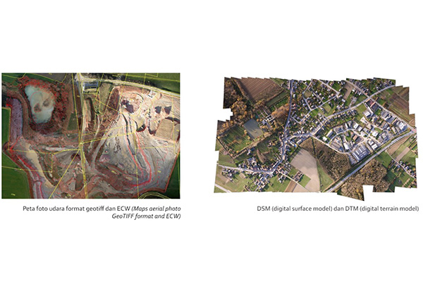
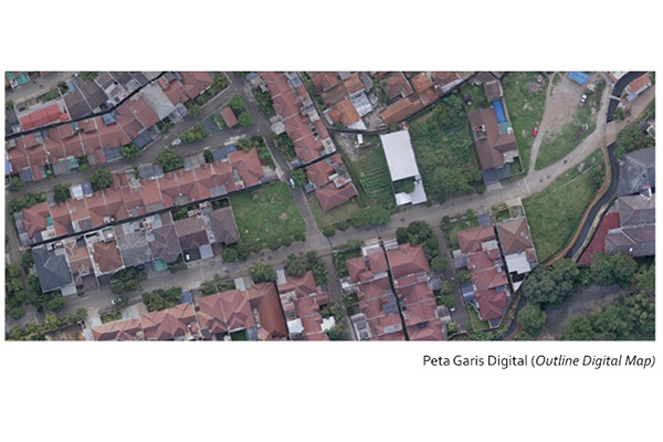
The results of the data obtained from the drone survey are:
- Digital Map
- Aerial Photo Map Geotiff and ECW Format
- DSM (Digital Surface Model) and DTM (Digital Terrain Model)
- Contour
The scope of aerial survey and mapping using Drones following are:
- Housing
- Plantation
- Pipeline
- Electric Power Transmission Line (SUTM and SUTET)
- Mining
- Highway Construction
- Railroad Construction
- Airport
- Port
- Resort and Hotel
- Industrial Estate
- Oil Refinery and Petrochemicals
- And others…
SAMPLE DATA